İçindekiler
Drone technology is revolutionizing mapping processes. Given the slowness and cost burden of traditional methods, the speed and accuracy provided by drones is becoming indispensable for many businesses in the industry. As Drone3dsurvey.com, we offer sectoral solutions to our customers using the latest technology.
1. Contribution of Drone Technology to the Mapping Process
Drones can map large areas of land quickly and in detail. They minimize human error and provide accurate and reliable data, especially in difficult terrain conditions. Thanks to GPS and advanced camera systems, it is possible to obtain high resolution maps.
2. Advantages of Mapping with Drones
Speed and Efficiency
Drones work much faster than traditional surveying methods. For example, while mapping an area can take days, drones can complete it in hours.
High Accuracy
Thanks to advanced sensors and software, measurements can be made with millimeter precision. This is a great advantage, especially in engineering projects.
Cost Savings
Mapping with drones reduces the need for manpower and lowers the overall project cost.
3. In which sectors is it used?
Mapping with drones offers solutions to different needs in many sectors:
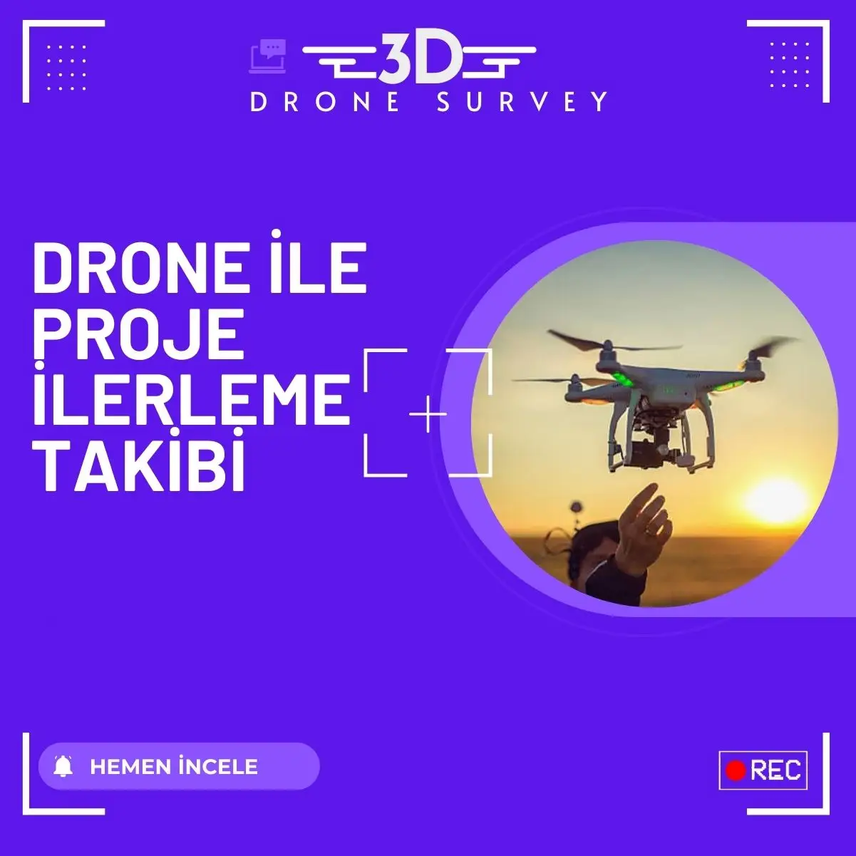
- Construction Preparation of progress reports for construction sites.
- Agriculture: Crop analysis and irrigation planning.
- Mining Detailed mapping of mineral reserve areas.
4. Services of Drone3dsurvey.com

As Drone3dsurvey.com, we produce solutions suitable for the needs of every sector. With our professional team and advanced equipment, we provide both time and cost advantages to our customers. By using technology in the most efficient way, we take your projects to the next level.
If you want to get detailed information about our drone services you can click this text.