Discover the limits of drone technology in services such as aerial mapping, project monitoring and video shooting. Carry your projects into the future with faster, more accurate and effective solutions.
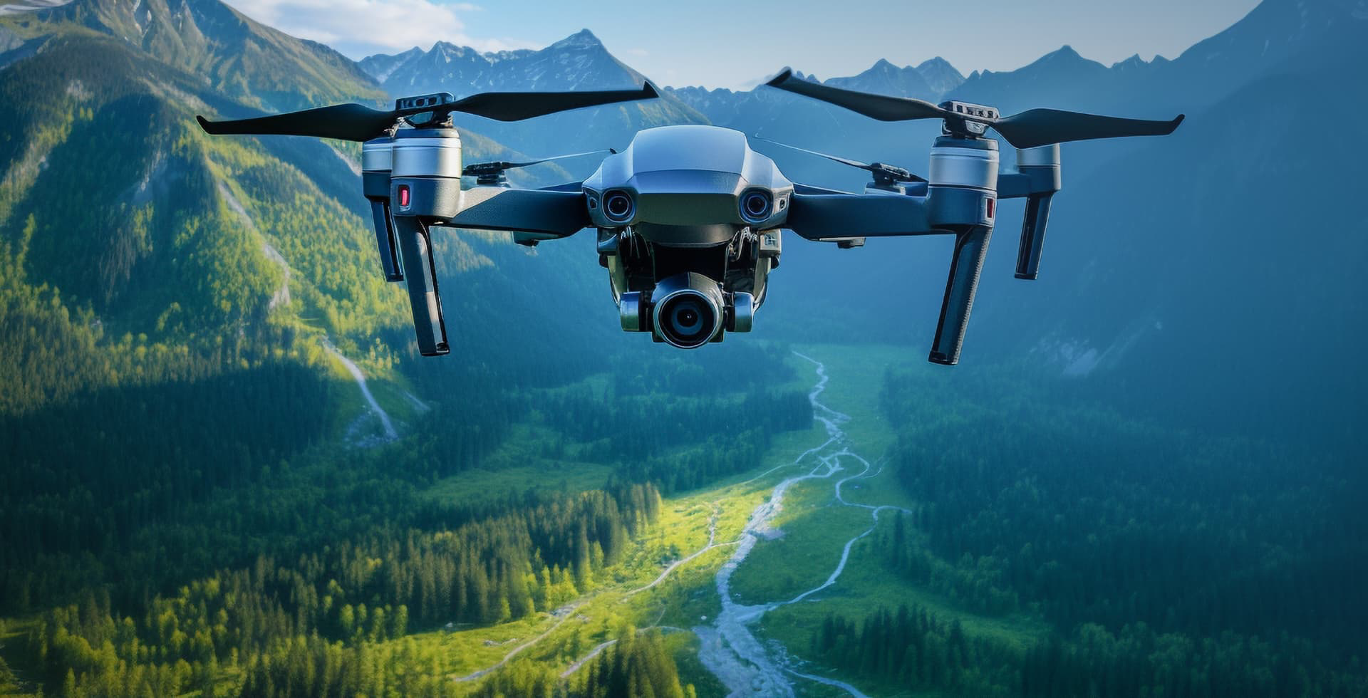
Fly to the Future with Drone Technology
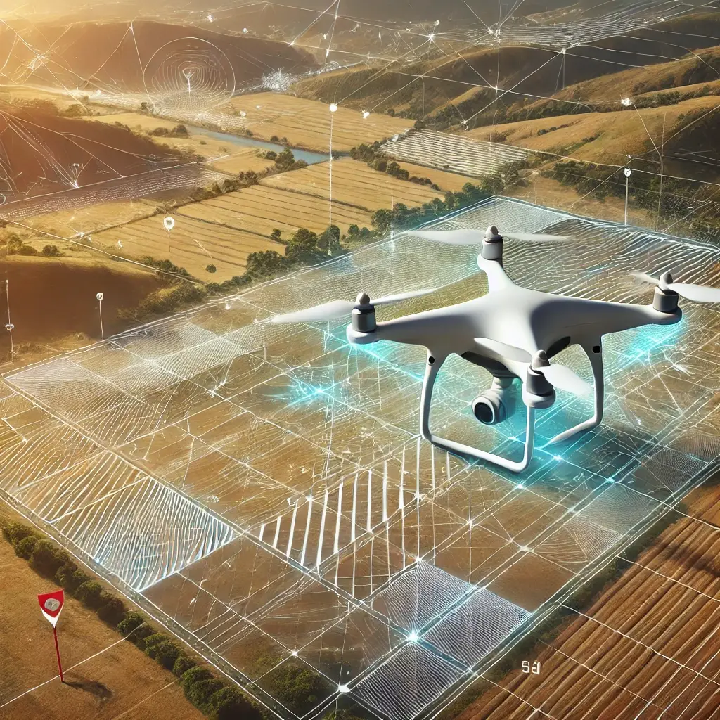
Introducing the stunning and impactful capabilities of drone technology. Accelerate your aerial imaging, mapping and analysis.
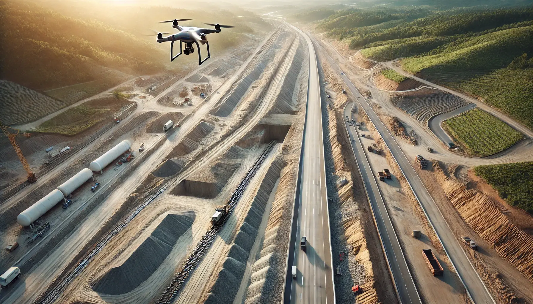
Thanks to our advanced drone technologies, we map your projects with a precision of less than 1.5 cm and deliver the works in full.
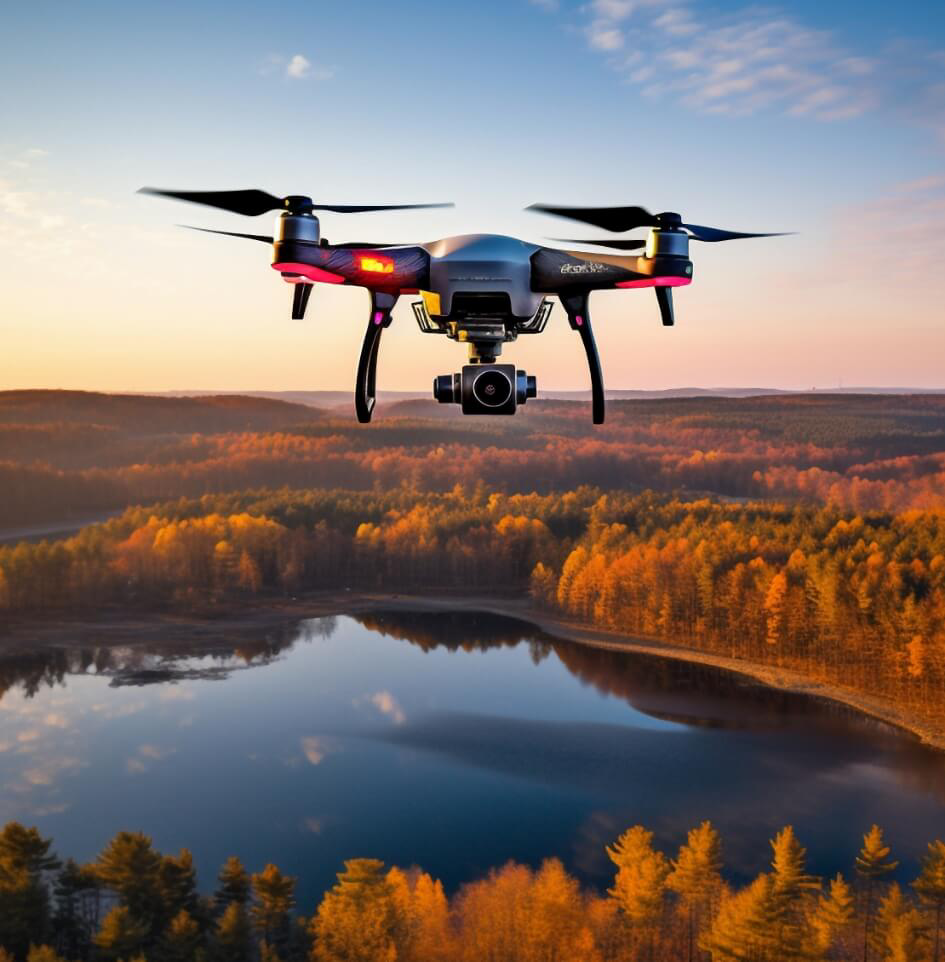
Fast and Efficient Deliveries
We enable you to get results as soon as possible by accelerating your project follow-up and data analysis.
Leadership in Precision Mapping is Our Business
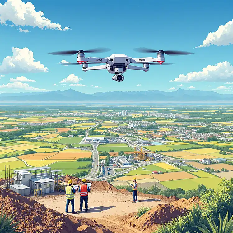
Our company is a leader in precision mapping in Qatar, Turkey and Romania. Our talented team provides reliable solutions to our clients, successfully completing even the most complex projects.
Perfect Service with Our Expert Staff
With our experience in projects from all over the world, we provide high-precision mapping services with our team of experts. The right address for reliable results!