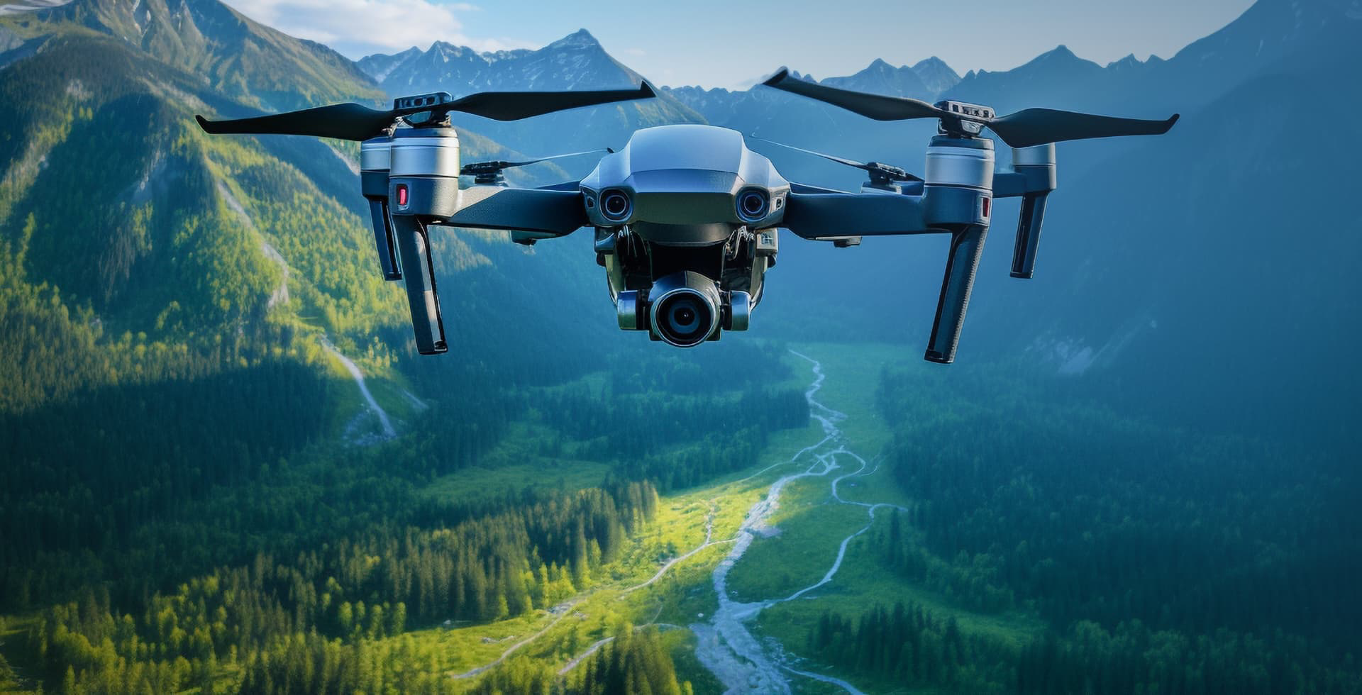
Professional Drone Video Shooting Services
Promote your projects with high-definition and impressive videos. We offer unique aerial footage with our advanced drone technology.
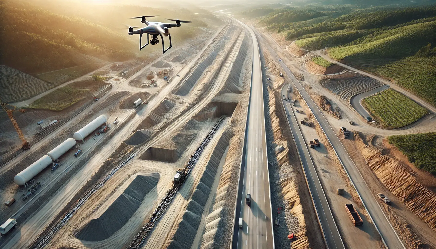
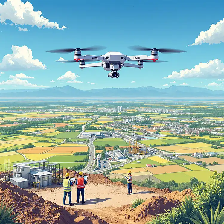
High Precision Mapping with Drone
Map your land quickly and accurately. Save time and increase your productivity with our modern technology.
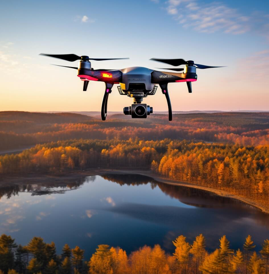
Monthly Project Progress Tracking Services
Report your project progress by viewing it from the air. Keep every step under control with monthly follow-ups.
Get Started Now


 Video Shooting
High Definition Drone Footage
See Details
 Mapping
High Precision Mapping with Drone
Discover Our Services
 Manufacturing Tracking
Check Your Project Progress
Review Now
New Era of Drone Technology
Discover the limits of drone technology in services such as aerial mapping, project monitoring and video shooting. Carry your projects into the future with faster, more accurate and effective solutions.
Fly to the Future with Drone Technology
Introducing the stunning and impactful capabilities of drone technology. Accelerate your aerial imaging, mapping and analysis.
Discover Our Services
High Precision Mapping with Drone
Thanks to our advanced drone technologies, we map your projects with a precision of less than 1.5 cm and deliver the works in full.
Fast and Efficient Deliveries
We enable you to get results as soon as possible by accelerating your project follow-up and data analysis.
Leadership in Precision Mapping is Our Business
Our company is a leader in precision mapping in Qatar, Turkey and Romania. Our talented team provides reliable solutions to our clients, successfully completing even the most complex projects.
Perfect Service with Our Expert Staff
With our experience in projects from all over the world, we provide high-precision mapping services with our team of experts. The right address for reliable results!

Recent Blog Posts
The latest news, tips and guides on drone technology, precision mapping and project tracking. Explore our blog posts to learn about the industry!
Check out our blog
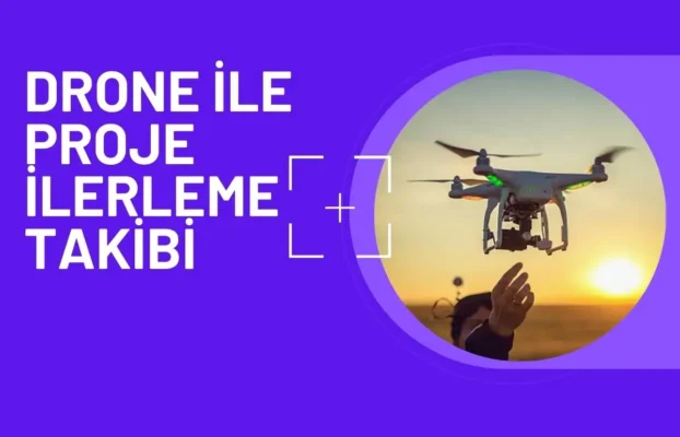
Drone TeknolojisiHaritalama ve AnalizProje Yönetimi
Drone ile Proje İlerleme Takibi
Aralık 31, 2024
![]()
0
–
Read more
Drone Teknolojisi
Dron Teknolojisiyle Haritalama: Geleceğin Çözümü
Some Services Offered by Drone 3D Survey
We take your projects to the next level with our comprehensive services in Drone Technology, Precision Mapping, Project Management and 3D Design.

Drone Services
Mapping Services

Project Management and Consulting

3D Design & Animation
Project Analysis
We work with our team of experts to understand project needs and create a detailed plan.
Planning
We do equipment selection, routing and flight planning to provide the right solutions.
Delivery
We analyze and process the data obtained and present high-precision results to our customers.